Extensive Itinerary of Lamkhaga Pass Traverse
The Lamkhaga Pass trek is a high-altitude, technical crossover expedition (5,280 m / 17,320 ft) linking Gangotri Valley in Uttarakhand with Kinnaur Valley in Himachal Pradesh. The route spans approximately 90 kilometers over 9 to 11 days, traversing remote glaciers, river crossings, steep boulder zones, and snow ridges. It requires strict Inner Line Permits (ILP), physical stamina, and technical mountaineering gear.
Trek Fast Facts & Summary Matrix
| Parameter | Specification / Details |
|---|---|
| Trek Name | Lamkhaga Pass Trek |
| Maximum Altitude | 5,280 Meters / 17,320 Feet |
| Trek Route / Crossover | Harsil (Uttarakhand) to Chitkul (Kinnaur, Himachal Pradesh) |
| Total Distance & Duration | 90 km across 10 Days / 9 Nights |
| Difficulty Level | Challenging to Demanding (Technical Glacier & Snow Pass) |
| Best Time to Visit | May – June (Pre-Monsoon) & September – October (Post-Monsoon) |
Detailed Lamkhaga Pass Trek Itinerary (Day-by-Day Route)
Day 1: Drive from Dehradun to Harsil Valley
Distance: 215 km | Time: 8-9 hours | Altitude: 2,620 m / 8,595 ft
The journey begins with a scenic mountain drive from Dehradun through Mussoorie, Uttarkashi, and the Bhagirathi valley to reach Harsil. Harsil is a serene apple-orchard village that serves as the base camp for the trek. Overnight stay in homestay/guest house to begin initial acclimatization.
Day 2: Harsil to Kyarkoti (via Kakora Gad / Jalandhari Gad Valley)
Distance: 14 km | Time: 6 hours | Altitude: 3,500 m / 11,480 ft
The actual lamkhaga pass trek trail starts today. Walk through thick pine, cedar, and birch forests alongside the roaring streams of Jalandhari Gad. As you gain elevation, the tree line recedes, opening into the picturesque alpine meadow of Kyarkoti.
Day 3: Kyarkoti to Lamkhaga Pass Base Camp (Lower / Lal Batti)
Distance: 12 km | Time: 5-6 hours | Altitude: 4,100 m / 13,450 ft
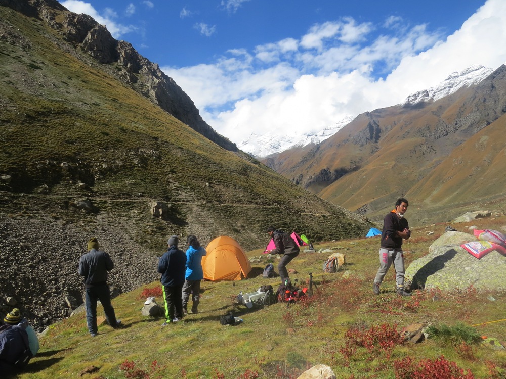
Advance deeper into the glaciated valley along boulder-strewn moraines and icy streams. Today’s march prepares trekkers for higher elevations with gradual acclimatization. Camp in tents on high-altitude rocky ground.
Day 4: Acclimatization and Skills Training Day at Base Camp
Altitude: 4,100 m / 13,450 ft | Focus: Active rest & technical prep
A crucial buffer day built into the lamkhaga pass trek itinerary. Trekkers engage in short acclimatization hikes, micro-spikes/crampon training, rope handling exercises, and thorough gear checks by technical guides.
Day 5: Base Camp to Advanced Base Camp (High Camp)
Distance: 7 km | Time: 4 hours | Altitude: 4,800 m / 15,740 ft
A short but steep climb across moraine ridges, glacier debris, and snowfields to reach High Camp. Temperatures drop below freezing, and early sleep is essential in preparation for the midnight pass push.
Day 6: Advanced Base Camp to Lamkhaga Pass (5,280 m) & Descent to Gundar
Distance: 11 km | Time: 8-10 hours | Pass Elevation: 5,280 m / 17,320 ft | Descent: 4,400 m
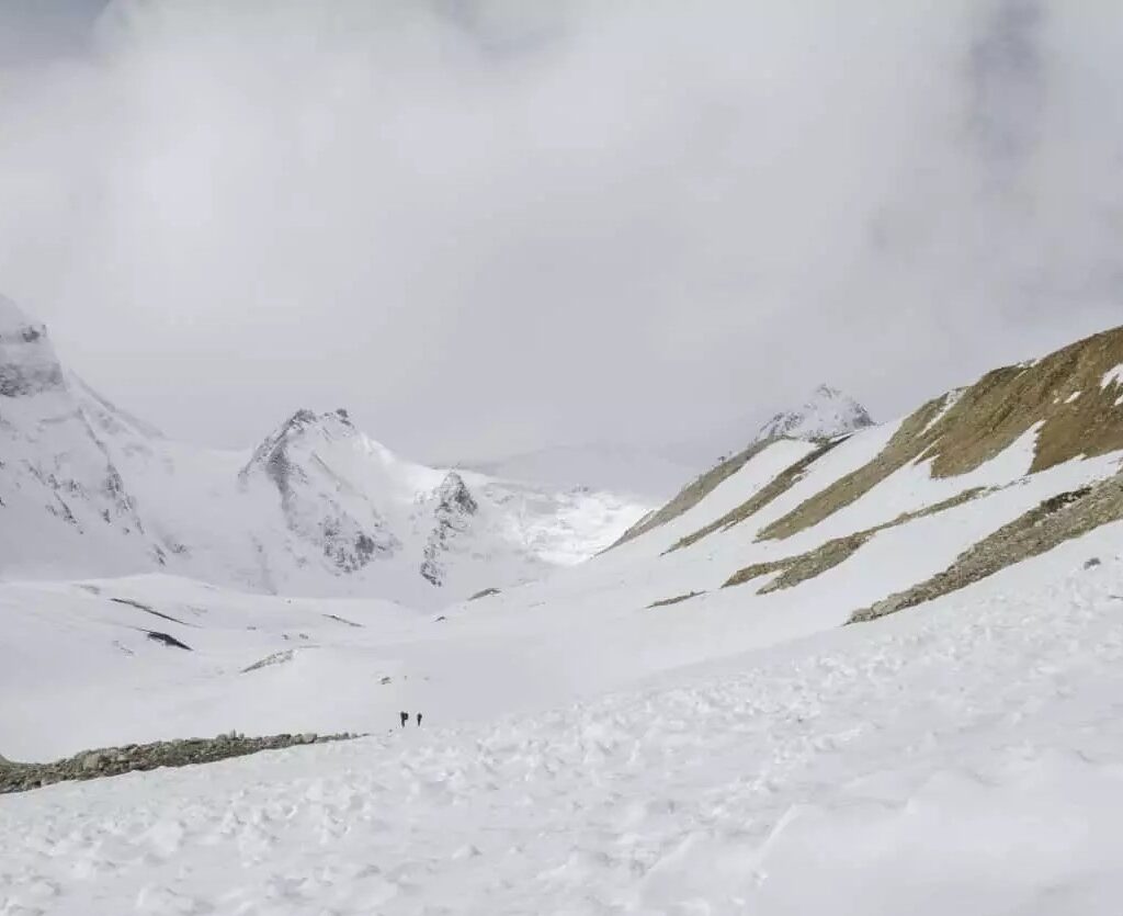
The summit day of the pass traverse. Start at 3:00 AM across steep, ice-hardened snow slopes using fixed ropes and ice axes where required. Reach the narrow saddle of Lamkhaga Pass for panoramas of Kinnaur and Gangotri peaks. Descent into Himachal Pradesh involves navigating tricky snow gullies toward Gundar campsite.
Day 7: Gundar to Nitthal Thach
Distance: 13 km | Time: 5-6 hours | Altitude: 3,850 m / 12,630 ft
Descend through the Kinnaur side along glacial outwashes, rock scree, and river beds. The trail gradually recovers greenery as you enter Nitthal Thach, a peaceful high pasture.
Day 8: Nitthal Thach to Rani Kanda
Distance: 10 km | Time: 4-5 hours | Altitude: 3,700 m / 12,140 ft
Trek along the Baspa River tributaries. Pass ITBP (Indo-Tibetan Border Police) checkposts where permit verifications are conducted. Camp at the historic flat grounds of Rani Kanda.
Day 9: Rani Kanda to Chitkul Village & Drive to Sangla / Shimla
Trek Distance: 10 km | Time: 3-4 hours | Altitude: 3,450 m / 11,320 ft
The final leg of the trek leads to Chitkul, the last inhabited village on the Indo-Tibet border. Celebrations mark the end of the expedition before boarding transport onward to Sangla or Shimla.
Essential Inner Line Permits (ILP) & Regulatory Guidelines
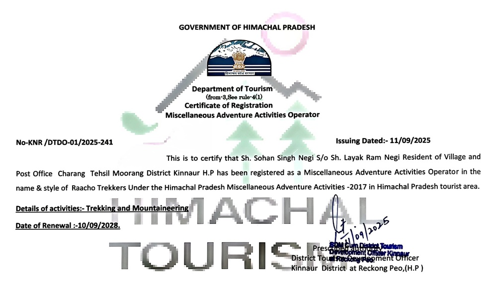
Due to its proximity to the Indo-Tibet border, the lamkhaga pass trek requires strict government clearances. Trekkers must submit documentation at least 25-30 days prior to departure through authorized operators like Raacho Trekkers. Required permits include:
- Inner Line Permit (ILP) from Uttarkashi District Magistrate office.
- NOC & Clearance from ITBP (Indo-Tibetan Border Police) and Indian Army.
- Forest Department Permits for Gangotri National Park / Govind Sanctuary boundary.
- Medical Fitness Certificate issued by a certified MBBS medical practitioner within 14 days of the trek.
FAQs (Frequently Asked Questions)
Q: How difficult is the Lamkhaga Pass Trek?
A: The Lamkhaga Pass Trek is rated as difficult to extreme. It involves navigating steep icy inclines, technical glacier moraines, and high altitudes exceeding 17,000 feet. Prior high-altitude trekking experience is mandatory.
Q: What is the ideal distance covered in the Lamkhaga Pass trek itinerary?
A: The total trek distance spans approximately 90 kilometers (56 miles), typically divided into 9 to 10 days of trekking with daily averages of 10-14 km.
Q: What equipment is needed for the pass crossing?
A: Essential technical gear includes crampons/micro-spikes, ice axes, high-altitude mountaineering boots, climbing harness, fixed ropes, and extreme cold-weather gear rated down to -15°C.
Q: Why choose Raacho Trekkers for the Lamkhaga Pass Traverse?
A: Raacho Trekkers provides experienced local guides, certified technical leads, satellite/wireless communication safety, comprehensive permit handling, and structured acclimatization schedules optimized for a safe high-altitude crossing.