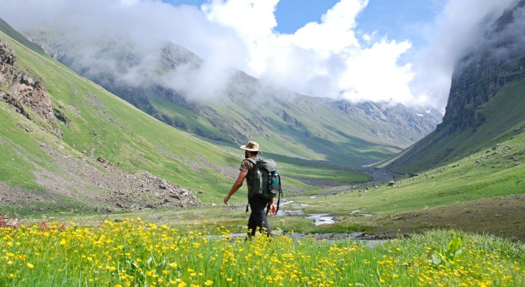
Seema village to Har Ki Dun
On 1st July after a quick breakfast, we continued up to Seema village with lunch enroute at Ghangar. My friend Kamal, with a 25kg backpack, surprisingly lagged an hour or so behind me. Once he arrived at Seema we walked for another hour or so before camping. That night it poured “cats and dogs and its cousins”.
Luckily my tent was good enough and water did not seep through. July 2nd was an overcast day with a near whiteout. We walked to Har Ki Dun and then to a meadow 1-2 km before Morinda Taal.
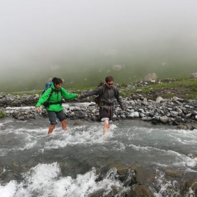
The entire route beyond Har-Ki-Dun meadows is along the true right of the Morinda Gad (stream). The Morinda Taal is formed in an area where the Morinda Gad spreads out on flat land.
Since, it was drizzling and again a near whiteout it was no fun walking. So, we decided to wait it out that day. We camped under a huge boulder which was a natural campsite (also used by the shepherds).
The weather did not clear up today. I spent a restless night on July 2nd praying that the weather would clear up.
Har Ki Dun to pass base camp
July 3rd – The weather had still not cleared up fully but just enough to entice us into moving early, sans breakfast.
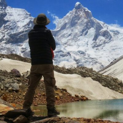
We self-guided ourselves with a GPS, printed map and followed the lay of the land to camp in the glacial moraines (boulder zones) beside a small glacial pond about 500M before Sona or Sauni (Sauna) Bhera (marked in map as Sorna Vir).
We had to camp here as the weather was turning bad (it was starting to drizzle). On 4th July, the weather was slightly better. We headed to Sona Bhera, which we reached in about 30-45 mins. Post that, we lost our way a little, courtesy a minor navigational error.
We lost 1 hour climbing up and down a side ridge and came back to Sona Bhera campsite. By this time the visibility was very low. None of the hills or ridges could be seen.
We again ventured along, which I thought was the right route. After about a 30-45 mins climb, beside a nala, based on my GPS reading I felt we were about 100 M left of where the actual trail is supposed to be. So we recced once again and soon we found the right trail.
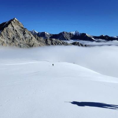
We climbed on the trail, till what appeared to be the high camp at 4750 meters, amidst the boulder zone. There is a clear view of the ice-wall below the pass from this camp.
Are You A Match For Borasu Pass?
You must have done at least one high altitude trek before. Those who do not have the requisite trek experience of high altitude passes should not apply.
You must be physically fit to do the 7-day Himalayan trek. The trek leads up to 17,880 feet high Borasu pass ridge. At this altitude the air is thin and the rigors of the mountain can grind you down. You must give yourself sufficient time to prepare yourself for the trek.
NOTE: Trekkers are required to bring a medical certificate deeming them fit for high-altitude trekking at the start of the trek.
Backpack carrying: A porter will carry your backpack, please do not bring extra items but only the essentials needed for high altitude trek. Besides detailed planning, taking care of all the logistics, food, and good equipment, packing a backpack efficiently and carrying essential things play a key role in the success of an expedition.
Route from Gangotri to Kedarnath (via Audens Col)
First, we would take a side trip to visit Kedartal at a height of 4,780 meters. Then we would climb atop Patangani Dhar (4,900 meters) to get down into Rudragaira valley which provides access to Auden’s Col. Auden’s Col, at 5490 meters above the sea level, is nestled between Gangotri and Jogin mountain ranges.
| INCLUDED |
| All arrangements for overnight stays during the trip. |
| All meals |
| All food expenses. |
| Food will usually consist of morning breakfast, lunch, evening high tea, and dinner. |
| All food will be vegetarian. |
| Trained and certified trek leaders who can handle possible emergencies. |
| Local guides and support staff with in-depth knowledge about the local area. |
| One luggage per person will be transported by us. |
| Inner line permits and arrangements en route. |
|
| NOT INCLUDED |
| Any kind of personal expenses. |
| Camera fees or any other costs arising out of unforeseen circumstances or situations beyond our control. |
|



Reviews
There are no reviews yet.