Tso Moriri � Hiking Shores of Ladakh�s Azure Lake
—
by
in Blog
Sitting alone in silence on a mound overlooking the staggering blue waters of Tso Moriri, while the cold mountain winds froze my face in the searing afternoon heat of high altitude, it felt like life came full circle.
Five years before this moment, I was standing at that very same spot where the jeep track ended then, wondering how it might be to walk all the way till the blue lake disappeared at the far horizon where none seemed to want to go.
With neither time nor information in hand at that time, I turned back and drove towards another adventure, Tso Moriri to Pangong Lake via Chushul following a wonderfully uncommon route.
But who could’ve guessed that the universe was conspiring to make my unspoken (and even forgotten) desire come true? Five years later, I had just hiked from that far horizon where the blue disappeared to reach the said mound, finishing what I had unwittingly started.
Geography and location
Tso Moriri is a brackish water lake situated at a daunting altitude of 4500 m in one of the most spectacular regions of Ladakh, the Changthang plateau. Sparsely populated and in a remote corner of the country, Changthang Plateau epitomizes the best of Ladakh’s charm – an awe-inspiring landscape peppered with deep blue lakes, vast plains bound by soaring mountains, home to nomadic tribes who live off the land and a haven for unusual flora and fauna.
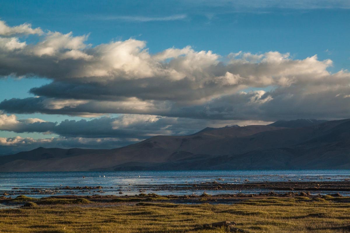
The cynosure of all eyes in this wonderland is surely Tso Moriri, a vast ink blue blot on the barren landscape of Changthang.
Dimensions
Measuring just over 22kms from north to south and at least 3kms at its widest point, Tso Moriri is barely a fraction of the size of the neighboring behemoth that is Pangong Tso (135Kms). But what it lacks in size, it more than makes up for in unparalleled views.
Why I visited Tso-Moriri?
The cherry on top happens to be the unbelievably green marshes and grasslands that dot the boundary on the northern and southern ends of the lake.
As if a dash of cobalt blue between earthy browns wasn’t enough to electrify the senses, a splash of green is thrown in that instantly elevates Tso-Moriri from yet another high-altitude Himalayan lake to a unique wetland conservation site.
It was this exact reason that drew me to undertake the Parang La Trek from Spiti to Ladakh one summer.
Every time I’ve returned to Ladakh, I’ve only ever wanted to go boldly where no place on the archetypal itineraries of Ladakh Tour Package would find a mention. So I was quite happy to reach Tso Moriri is the most unusual way.
Parang La was a brutally long trek that required us to stay at altitudes in excess of 4500 m consistently for more than a week and cross a 5600 m high snow-covered pass.
When crossing the furious Pare Chu (River) for the last time, it had already been the seventh day on the hike and fourth since we crossed the pass. The reward of the tribulation was Tso Moriri.
It beckoned like a gleaming beacon of hope. Crossing the river meant we had officially crossed the Himachal state boundary and entered Changthang in J&K and the drastic change in scenery was palpable.
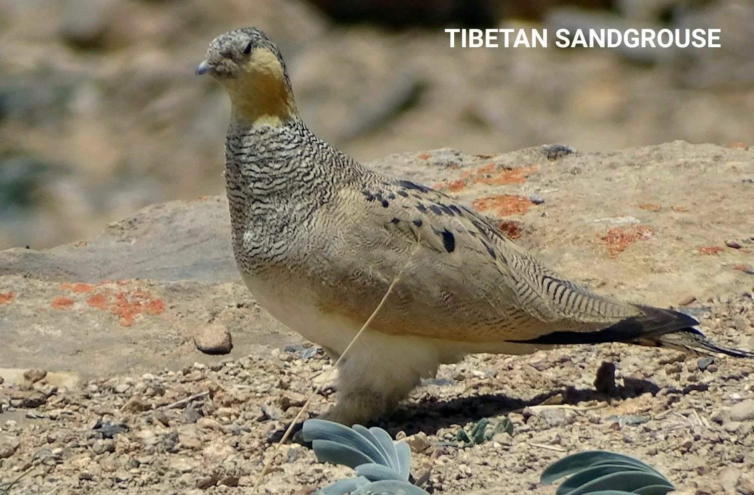
The thirsty landscape immediately changed from unforgiving soil and stone to a thriving expanse of green marshes peppered with pools of water where flowers grew. There were larger ponds in the distance where flocks of birds swam and flew over.
Crossing several small streams that braided their way through the narrow valley to drain into the lake’s southern end, we finally arrived at the grasslands of Tso Moriri.
Our campsite for the next two nights at the edge of the lake was aptly named Kiangdom (or Kyangdom) – an allusion to the fact that this was the kingdom of Kiangs (Tibetan Wild Asses).
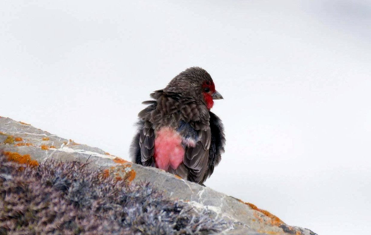
I wandered about while curious Marmots and Kiangs examined me from safe distances but the countless flocks of Bar-headed geese couldn’t be bothered, they snubbed me royally. Despite that, after 9 days of having seen no greenery, the grasslands bustling with life were a sight for the sore eyes.
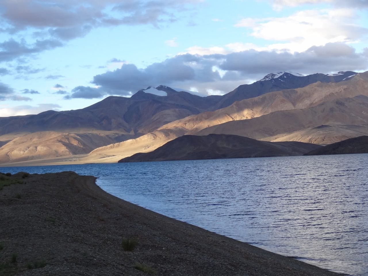
The gentle bulges of Chamsher and Lunsger Kangri peaks seen on the other side of Tso Moriri
The world was beautiful once again. The sunsets were gorgeous and the sunrises breathtaking; as was the moonrise in this secluded corner. This vision of Tso Moriri, far away from any hint of civilization, was paradise epitomized.
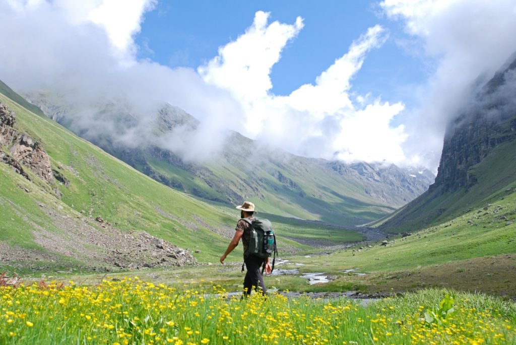
The next morning, the ninth since we started trekking, it was time to wash the dust off our shoes and bodies. It was time to return to civilization. Korzok, the only village located by the lakeside, was a good 20 km away near the northern end of the lake. So began our long, never-ending trudge by the side of a turquoise dream.
The walk was strangely both mind-numbing and mind-blowing at once. Mind-numbing because it really felt like the work done was equal to zero. Flanked by the omniscient Chamsher (6620 meters) and Lungser (6665 meters) Kangri on the east, Mentok Kangri (6250 meters) on the west and the imposing Gya Peak (6794 meters) of Spiti valley, Himachal Pradesh on the far south, the setting is already quite lofty and remarkable.
But when you are just a speck on a site this expansive, neither the lake nor the mountains seem to change position perceptibly. It gave the impression that I got nowhere despite walking for hours at a stretch.
On the other hand, it was mind-blowing to be walking along the shores of the one of the most beautiful lakes surrounded by massive mountains, in such palpable solitude where one may be forgiven to truly believe they were the sole witness and audience to the whimsies of the blue waters.
The occasional clusters of small bushes with yellow flowers breaking the maddening tedium of a monotonous walk brought on a special kind of childish joy in me. It was a bunch of flowers in the desert, after all!
When the scenery changed intermittently, whether the sudden appearance of desert vegetation or the sudden awareness of how clear the waters beside me were, the mind was always justifiably tickled. The entire hike from Kyangdom to Korzok was a constant battle between wonder and languor.
One of the great joys of tedious walking is that the mind wanders. On a hike like this, there’s little danger that one would trip and fall off a mountain. Jagged edges have no place in Changthang’s landscape, neither precarious slopes nor rocky outcrops. It is all mostly flat and well-rounded; there is no roughness to the edges around here. So I could actually let my mind wander while my feet moved on autopilot mode. Even though the heat and dust made it feel like I was walking in the plains of southern India on a hot summer day, I drifted into a rare kind of unencumbered state of mind where neither the din of buzzing civilization nor the worry of brutal nature weighed me down.
Travel Advisory:
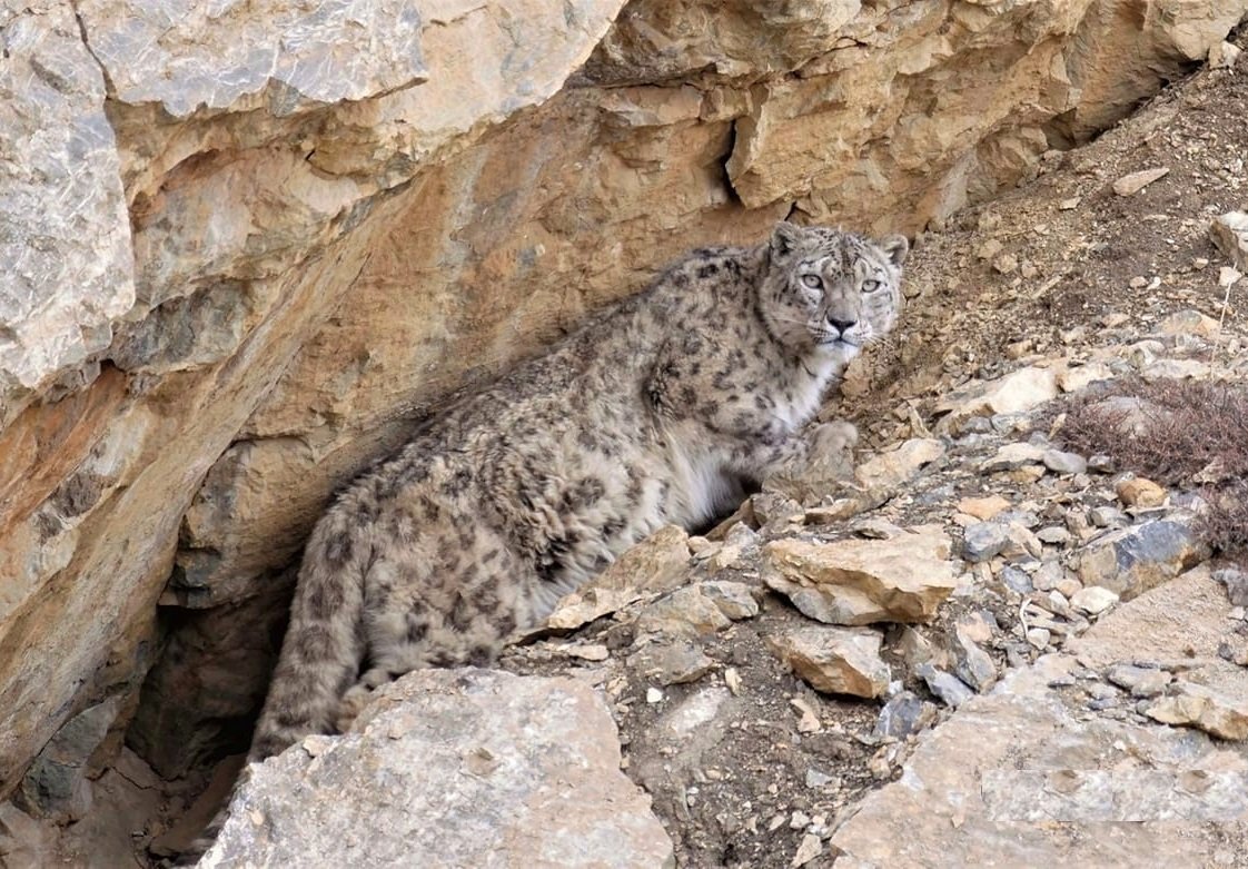
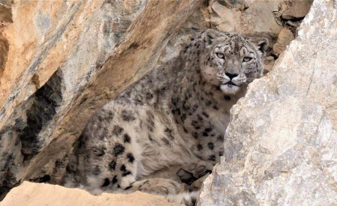
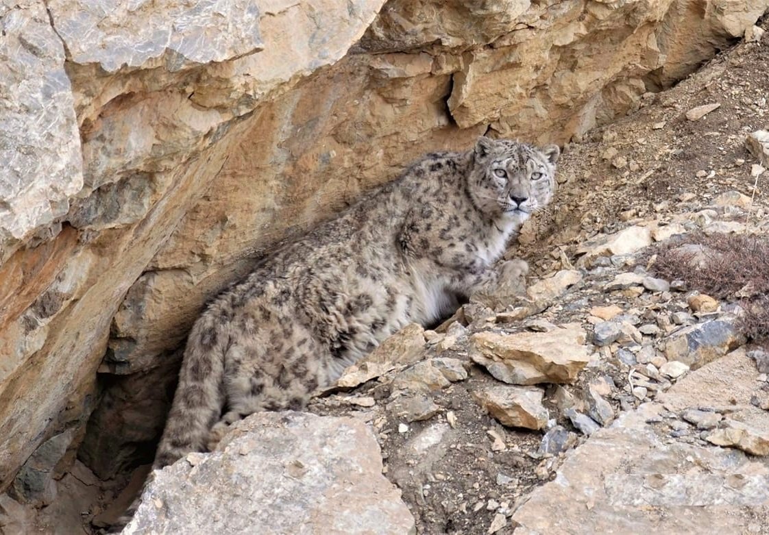
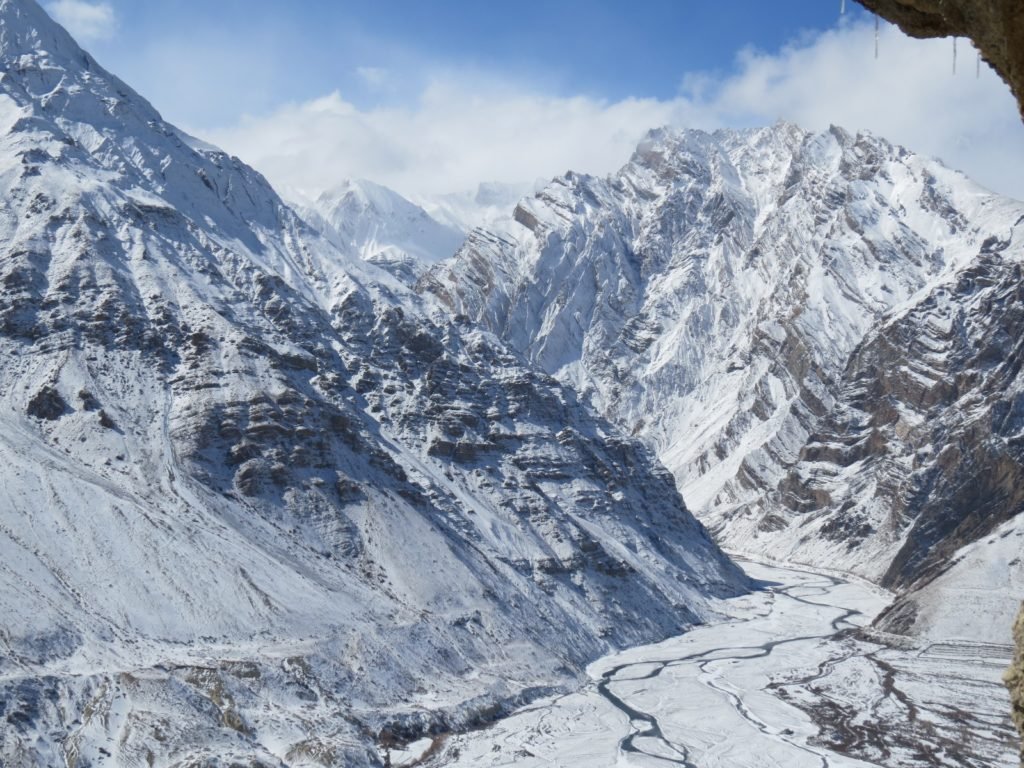
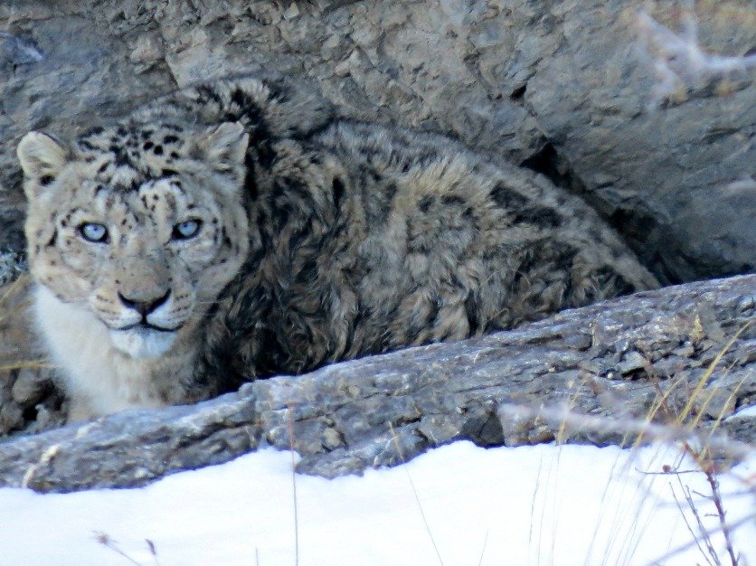
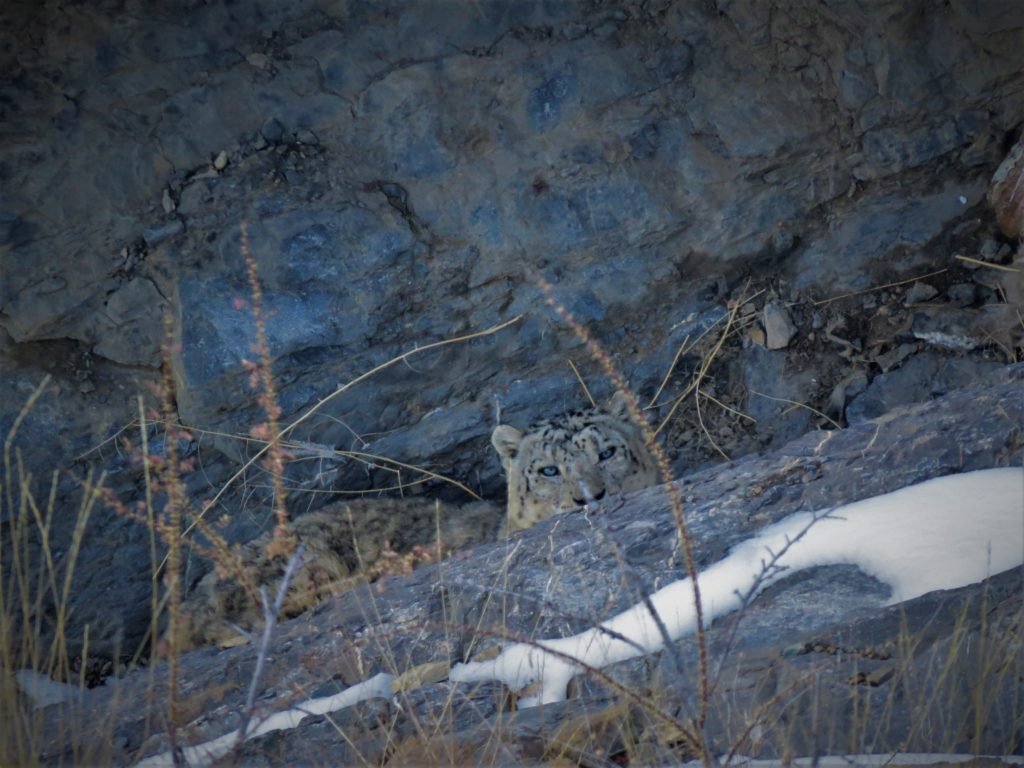
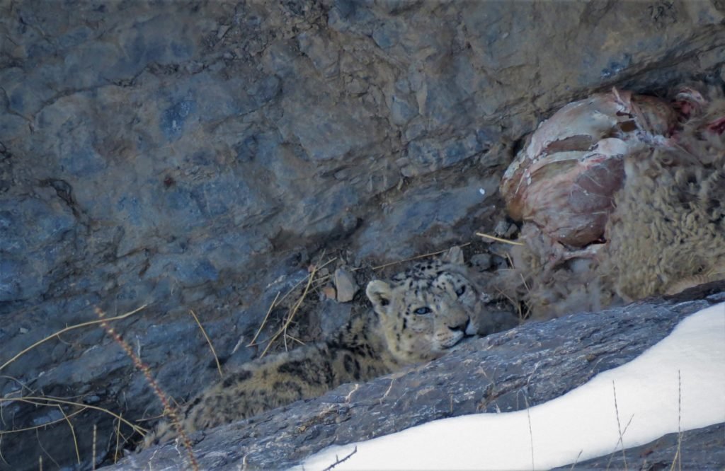
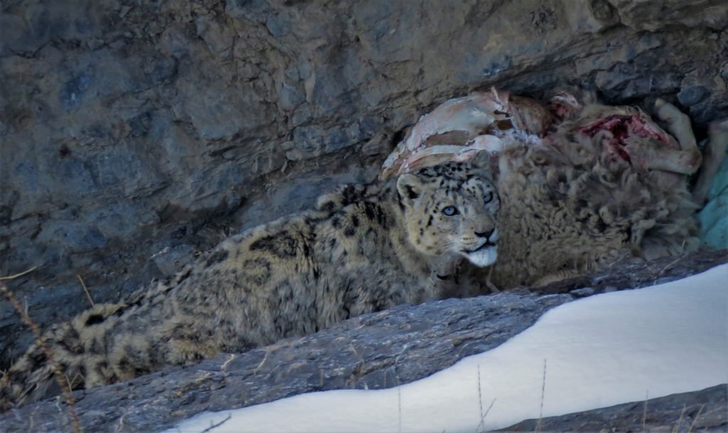
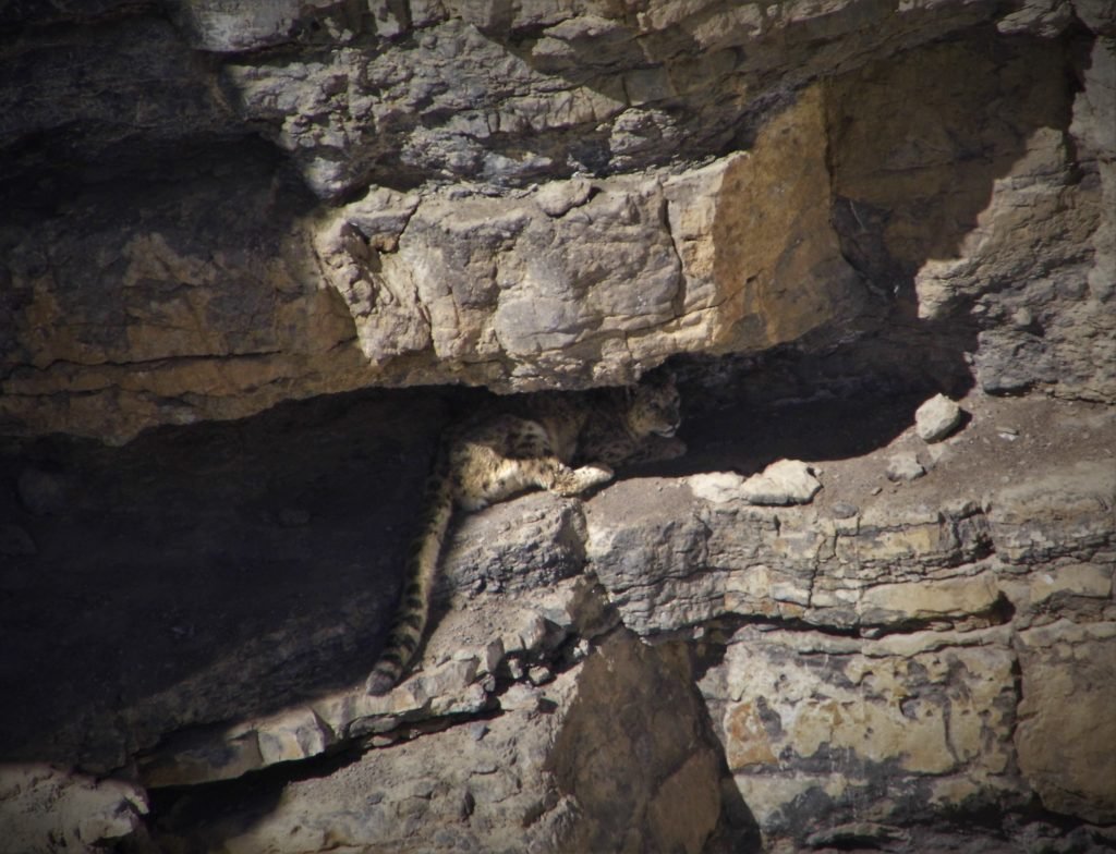
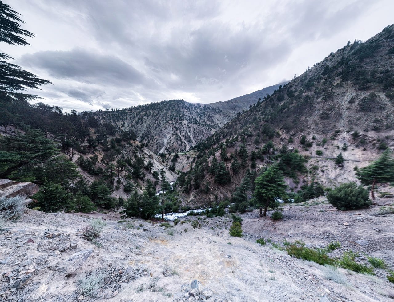
These deep gorges near Chicham village are the sanctuary for Snow Leopards
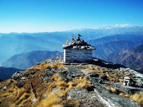
Perhaps it is acceptable that after 9 days of hiking in arid mountains where colours were a constant throughout, I was slightly numb to the beauty that surrounded me. Korzok couldn’t come sooner; it represented freedom from dust above everything else. After hours of feeling like I was stuck in a time loop walking on the same stretch, piles of Mani stones with Tibetan prayers etched on them appeared as cairns and haphazardly thrown heaps extending well into the water. A distant mound with prayer flags appeared on the horizon too. In the high-altitudes, our grasp of time and distance, both, stretch considerably. It was a long time before I reached the mound.
The inescapable beauty of Gya Peak situated at the T-junction of Himachal, Ladakh and Tibet, as seen from Tso Moriri
Several Cairns were piled atop that mound. Gya Peak looked calm and resolute behind me, and the mirage of Korzok was ahead of me. The end was nigh. It was then that gratitude washed over me. It was the exact same spot I stood five years ago, wondering what lay ahead. Only this time I knew the answer. At times, life does come full circle!
I did this hike as part of the 10-day Parang La Trek from Kibber to Korzok. The entire distance from one end of Tso Moriri to the other end lengthwise is 20kms at least and took me about 8–9 hours. The altitude is above 4500 m and there is neither shelter nor water source along the way.
The temperatures can be deceptive in Changthang. While the afternoons may max out at 35 °C, nighttime temperatures can go well below freezing on the same day. The hike is best attempted only after sufficient and proper altitude acclimatization.
Wildlife map of Lahaul & Spiti district of Himachal
Infographic of Snow Leopard Habitat
Population estimate of Snow Leopards in Kibber WLS of Himachal Pradesh
Event Registration
Fields marked with an *are required
.png)
